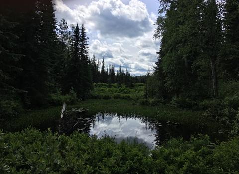
The Stein Nahatlatch region contains large areas of intact forests and wetlands that support regional connectivity for multiple wildlife species. To safeguard this ecologically important landscape, the Stein Nahatlatch Initiative (SNI) has been leading efforts to manage natural resources and establish a proposed Indigenous Protected and Conserved Area (IPCA).
To support these conservation objectives, TerrAdapt provided its cloud-based, dynamic monitoring platform to quantify and illustrate over 35 years of landscape and vegetation changes. By mapping forest disturbances caused by wildfires and timber harvesting, and projecting future climate-driven shifts to drier forest ecosystems, our tools enable Indigenous stewards to identify current drivers of landscape change and understand how forests have changed in response to large wildfire disturbances in the last decade. This spatial data is being translated into compelling visual storytelling formats such as time series animations to help local resource managers prioritize post-fire restoration, communicate the region's significance, and proactively guide long-term land management. Additionally, TerrAdapt has conducted trainings with SNI leaders to use the web portal to develop their own monitoring reports.